Autumn is a bountiful time in your garden. From the abundance of blackberries we saw earlier in the year to the current glut of rosehips, it’s a good season for the green-fingered.
Of course, the end of those autumnal perks signal the start of stark winter’s downsides. Bats and birds begin to struggle to find food. Rough, colder weather makes new growth unlikely.
Thankfully, there’s one simple (in)action you can take to help prevent some of these issues: keeping fallen leaves in your lawn, rather than throwing them out, is actually a pretty great move in autumn.
Eric Michels, Head of Pro at CJ Wildlife, says “One of the best things you can do with fallen leaves is to leave them for wildlife!”
“While some may consider fallen leaves a nuisance, they provide the perfect opportunity to give back to nature and create a habitat or food source for a wide variety of animals this autumn.”
So, here’s how to tackle your leaves without banishing them from your garden altogether:
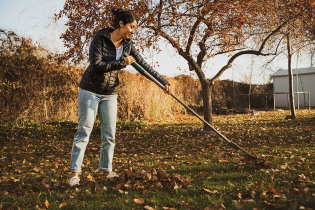
Forget intense raking ― this is push-and-pile up season
A large, unraked pile-up of leaves on your lawn can cause problems, like mould. But simply shoving them into a heap in the corner of your lawn (rather than carefully clearing and disposing of them) can provide a home for wildlife, Michels says.
“Hibernating mammals, such as hedgehogs, frogs[,] or toads, will use leaf piles to create a nest where they will stay throughout winter, while insects and invertebrates will love the dark, damp nooks and crannies that it has to offer,” he says.
“In turn, this will encourage birds such as robins and sparrows to visit your garden to forage for worms and bugs in the leaf layer.”
The Royal Society for the Protection of Birds (RSPB) agrees, saying that “You might not be a fan of creepy crawlies in your composting materials, but they serve an important function by providing food for larger birds and other wildlife.“
Where you place your leaf pile matters
Of course, you won’t want to stick the leaves in a busy or very exposed area ― they’re more likely to get kicked apart or blown away, and it’ll probably be a less welcoming area for wildlife too.
You should “make sure it is located in a quiet corner of the garden where visitors can stay undisturbed throughout winter,” Michels says.
The RSPB adds that “where you put the logs and leaves will affect the wildlife that uses it. Try different spots in your garden, with different sized and shaped piles.”
Got a felled log? Even better!
“If you have any logs or fallen branches, place these next to [the] leaf pile to provide additional shelter and security,” says Michels. The two make a very appealing pair for visiting wildlife.
“Gathered together, this mix can create a lovely pile of goodness to help your garden grow and encourage more birds, bees and other wildlife to visit,” the RSPB shared.
So, if you’ve got some old branches or logs (perhaps from deadheading, pruning, or simply cutting down trees), the more the merrier.
Leaf mulch makes amazing compost, too
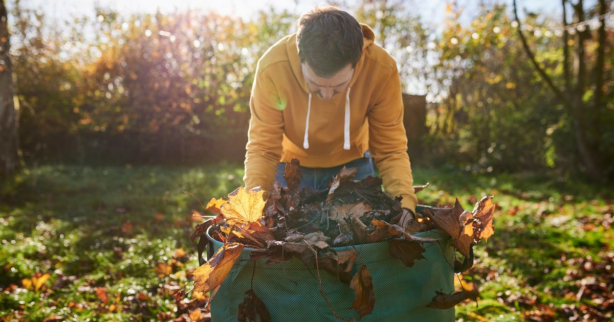
Not sure about piling up leaves in your lawn? You can place it in a beg for mulching instead (or on top of) the heaps.
In fact, the RHS refers to bags of leaf mould as “black gold”.
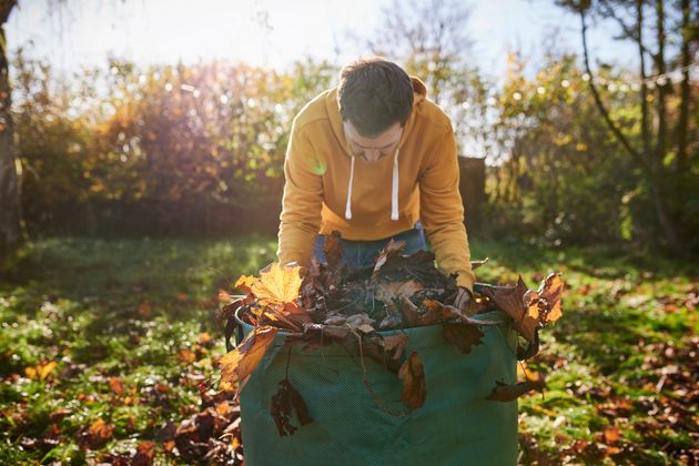
The steps are simple ― collect fallen leaves, stick ’em in a jute leaf sack, a bin bag, or an old compost bag, and simply wait for about two years for the coveted leaf mould.
And if you’re worried about any bad smells, fear not ― “The mention of ‘rot’ may conjure thoughts of smelliness, but decomposing logs, sticks and leaves don’t have much of an aroma at all – just a faint scent of woodlands,” says the RSPB.
You can make leaf mulch even sooner than that ― just “remember to check leaf piles for any animals before moving or mulching,” Michel says.
Look, anything that means I don’t have to meticulously rake and throw out my leaves is good news to me…


