
Storm Darragh is coming to the UK later today (Friday 6 December) and tomorrow, the Met Office says.
They’ve given the storm, which will roll from 3pm this evening until 6am on Sunday morning, some yellow weather warnings across much of the UK and a rare red weather wind warning for parts of Wales, as well as the Bristol Channel.
Advertisement
But what exactly is a red weather warning, and what should you do if your area has been given one ahead of the bad weather?
What is a red weather warning?
The Met Office explains that a red weather warning means “dangerous weather is expected.”
The weather is predicted to be so severe that you have to take steps ahead of the conditions arriving to keep yourself and your home safe, their site reads.
“It is very likely that there will be a risk to life, with substantial disruption to travel, energy supplies and possibly widespread damage to property and infrastructure.” they add.
Advertisement
“You should avoid travelling, where possible, and follow the advice of the emergency services and local authorities.”
The Met’s red weather warning is the most severe of their cautions.
What should I do if I’m in an area with a red weather warning?
The Met has issued six pieces of advice:
- Keep yourself and others safe; avoid travelling by road during potentially dangerous conditions. It is not safe to drive in these conditions.
- Being outside in high winds makes you vulnerable to injury. Stay indoors if you can.
- Don’t risk injury to others or damage to your property. If you can do so safely, check for loose items outside your home and secure them. Items include; Christmas decorations, bins, garden furniture, trampolines, tents, sheds, and fences.
- People cope better with power cuts when they have prepared for them in advance. It’s easy to do; consider gathering torches and batteries, a mobile phone power pack and other essential items.
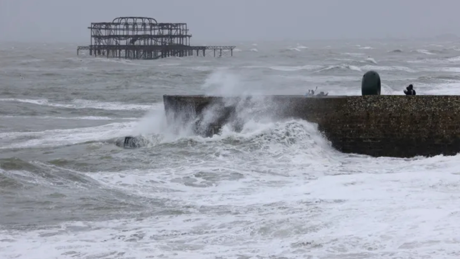
- If you live or work on the coast, beware of large waves, even from the shore large breaking waves can sweep you off your feet and out to sea. In an emergency, call 999 and ask for the Coastguard.
- Stay up to date with the weather forecast for your area and follow advice from emergency services and local authorities.
For less extreme conditions such as yellow warnings, Dale Hipkiss, Duty Manager at National Highways, said: “If you’re planning to drive over the next few days, prepare in advance for the journey and take extra care on the roads.”
They added, “If weather conditions become challenging, adjust your driving behaviour to manage the conditions as safely as possible. It’s also a good idea for drivers to check their vehicles, such as tyres, coolant and oil levels, before heading out to reduce the risk of breakdowns.”
Advertisement
Where are red weather warnings in place for Storm Darragh?
As of the time of writing, the areas issued a red weather warning are:
South West England
- Bath and North East Somerset
- Bristol
- Devon
- North Somerset
- Somerset
- South Gloucestershire
- Bridgend
- Cardiff
- Carmarthenshire
- Ceredigion
- Conwy
- Gwynedd
- Isle of Anglesey
- Monmouthshire
- Neath Port Talbot
- Newport
- Pembrokeshire
- Swansea
- Vale of Glamorgan.